Navigate Sri Lanka With Ease

Home > Navigate Sri Lanka With Ease
Reserve Now

Book a Ride

at :

at :

Shineway Rent-a-Car, we take pride in offering you the latest available innovations that will help make your holiday or business trip in Sri Lanka more enjoyable and eliminate the hassle and time of mapping out suitable routes on the local roads.

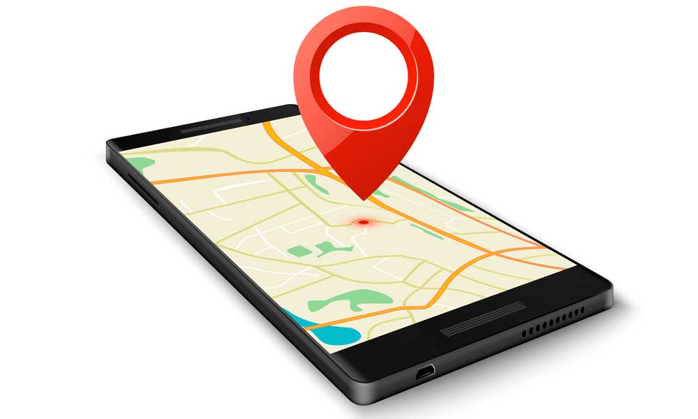
Shineway Rent-a-car is pleased to offer a Global Positioning System (GPS) Navigation System that will simplify your travel. The GPS system covers the entire road network in Sri Lanka and is available to clients on request. Make maximum use of the GPS system and spend less time on the road and more time at your destination!

Shineway Rent-a-Car will train you on the proper use of the system and assist you in the event of any difficulties.

What you need to know,

What are some important features of the GPS Navigation System?

  • First list item
  • Second list item
  • Navigate to any location in Sri Lanka
  • Turn by turn voice guided directions to your destination
  • Over 100,000 important landmarks and points of interests such as fuel stations, ATMs, banks, hospitals, hotels, parks, police stations etc.
  • Estimated Time of Arrival (ETA)
  • Alternative re-routing if you miss a turn
  • Alternative routes that avoid heavily congested roads
  • Track Recording
  • Predictive data entry and dynamic search options

Device features include,

noun_touch_3235507

User friendly touch screen

noun_movie player_1945851

Movie player & MP3 Player

noun_preview image_2229597

Photo Viewer

noun_Bluetooth_580508

Bluetooth connectivity

noun_fm radio_1014448

FM Transmitter

noun_av system_1593078

AV-IN

1) What is a GPS?

The Global Positioning System (GPS) is a U.S. space-based radio navigation system that provides reliable positioning, navigation, and timing services to civilian users on a continuous worldwide basis.

GPS provides accurate location and time information for an unlimited number of people in all weather, day and night, anywhere in the world. A GPS receiver calculates its position by precisely timing the signals sent by the GPS satellites high above the Earth.

2) Why do we need GPS?

GPS has become a mainstay of transportation systems worldwide providing navigation for aviation, ground, and maritime operations. Some of the real advantages and
benefits achieved include,

  • The GPS Navigation System provides turn by turn guidance for traveling to any place along a shortest or fastest route. As a result the GPS Navigation System user will benefit by saving fuel and time
  • Spend less time mapping out your route
  • All street names are listed and the navigation system will give you enough time to prepare before your reach a turn on the road. It makes navigation much easier for you
  • Get an address on the go
  • Seek out restaurants, libraries, hospitals, police stations, public places of interest,and much more through your GPS
  • Know your estimated Time of Arrival (ETA) at the destination

How long will it take for the GPS system to connect?

Cold Start (20-30 minutes)

  • A brand new unit at its initial use
  • If the device is manually reset
  • Receiver has moved more than 100km from the current fix
  • Incoming signals are low
  • The device hasn’t been switched on for a long time

Warm Start (10-15 minutes)

  • The device is within 100km location from the last fix
  • The device has been used within the last three days
  • The device has been used within the last three days
  • Good signal strength

Hot Start (1-5 minutes)

  • The device was used within the last three hours
  • Above 90% satellite strength

Will there be miscalculation of routes?

  • The satellite status must be in the connected mode (green colour) before calculating the route or else the calculation of the route will not be correct
  • When travelling between high rise buildings, overcast weather or close to flyover bridges, the navigation system may lock into a wrong location temporarily. The system will re-calculated automatically when you are coming back to a clear sky area. If wrong instructions appear on the screen, follow the previous instructions until you come to a clear sky area.

Important Information

  • The GPS navigation device must not be used for more than 30 minutes without DC power supply or else the system may get stuck or give wrong instructions when the battery level is too low
  • Always keep the GPS device and the mounting cradle away from sunlight, when not in use
  • DO NOT DELETE any original file from the SD card. Doing so may invalidate the license of the device and purchase of a new license may be required to use the system again

(Courtesy, www.salagis.com)

We are Ready to Take Your Call 24 / 7